You can visit a very large example of a bluff shelter at Lost Valley in the Buffalo National River. Located off Highway 43 in Newton County, Arkansas, the Lost Valley trail takes you through a narrow Ozark valley past a natural bridge or tunnel, to a bluff shelter known as Cob Cave, on to a 53′ waterfall called Edens Falls, and finally to the mouth of a true cave. The trail is 1.2 miles one way.
The trail is of moderate difficulty. The first part is smooth and fairly flat becoming more steep and irregular as the trail progresses. It makes an fairly easy and spectacular short hike.
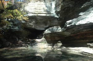
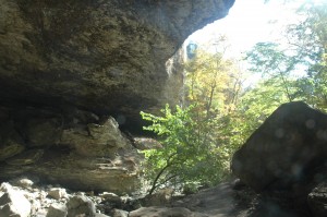
Lost Valley was not always a valley. In the geologic past, it was a cavern that formed as a solution cave in the limestone. That large cavern eventually collapsed leaving the natural bridge and the bluff shelter. The large square boulders on the valley floor are part of what was once the roof of the cave.
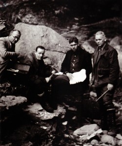
In the prehistoric past, Native Americans used the valley and the shelter and left evidence of their occupation. Cob Cave was visited by Sam Dellinger in 1931 and spectacular perishable items, including the corn cobs that gave the cave it’s name, were collected for the University of Arkansas Museum. Baskets, remains of plants, and other artifacts were excavated from this site. The large shelter has an extensive overhang because of its formation process. It is very dry in the back and was a particularly good environment for the preservation of usually perishable artifacts.