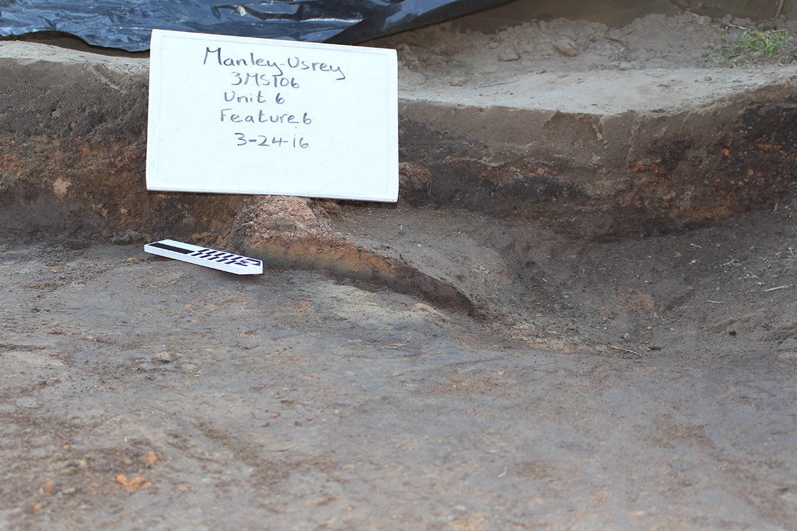
The hearth is still covered by daub in the lower left corner of the photograph. You can see the layers of sand and silt that were brought to the surface by the sand blow on the top (light brown) portion of the walls of the excavation area.
Dr. Michelle Rathgaber
Feature of the Month - January 2022
The feature of the month for January is a hearth from the Manley-Usrey site near Blytheville, Arkansas that was partially covered by sand from a sand blow caused by an earthquake in the early AD 1500s. Mississippian houses in this region were typically square or rectangular structures made of upright wooden posts and split cane walls covered with daub. The roof was then thatched with a hole left in the center for smoke from the fire to escape through. The thatch around the smoke hole would also have been covered in daub to keep the roof from catching fire due to embers in the smoke. Below the smoke hole, in the center of the floor, would be the hearth. The hearth was typically a shallow basin in the floor where a fire could be lit. The fire was used to cook and keep the house warm.
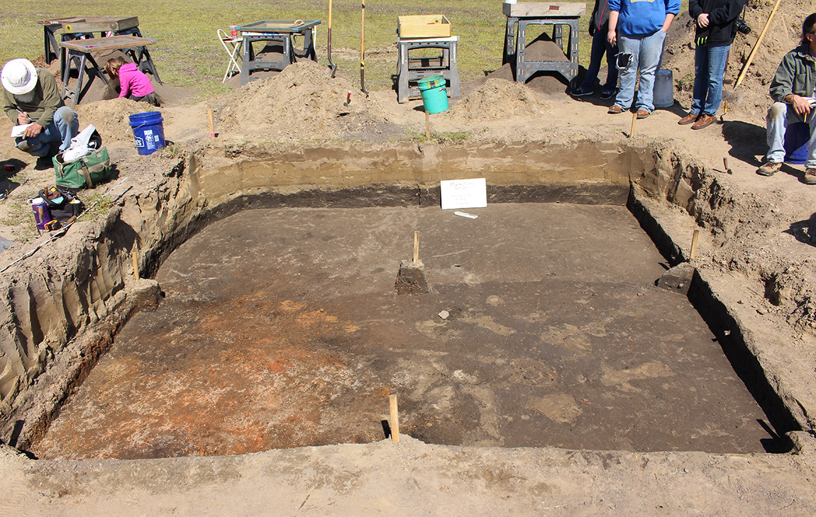
This excavated hearth feature was, as expected, uncovered in the center of a house that was excavated at the site. This hearth is particularly interesting because, based on the amount of firing of different parts of the hearth, it appears that at least part of the hearth was re-lined while the house was occupied. There was a thick layer of daub fall on top of the hearth during excavation. After the daub layer was removed from the north half of the hearth, a shallow basin was visible. The soil in the basin had been fired into a thick, solid layer due to the many fires that had been burned in the hearth. After photographing and mapping the hearth, it was bisected (cut in half for excavation) and the northern half of the fired material was removed. After removal, the excavators found that there was another layer of partially fired soil on the eastern half of the basin that was underneath the layer that had been removed. This layer was not as solidly fired as the one above, but it had also been subjected to fires as part of the hearth. This double layer of burned soil is what led excavators to believe that at least part of the hearth had been re-lined sometime during the occupation of the house.
The hearth covered with daub fall from the smoke hole and walls.
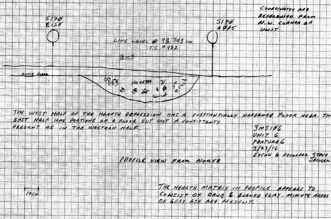
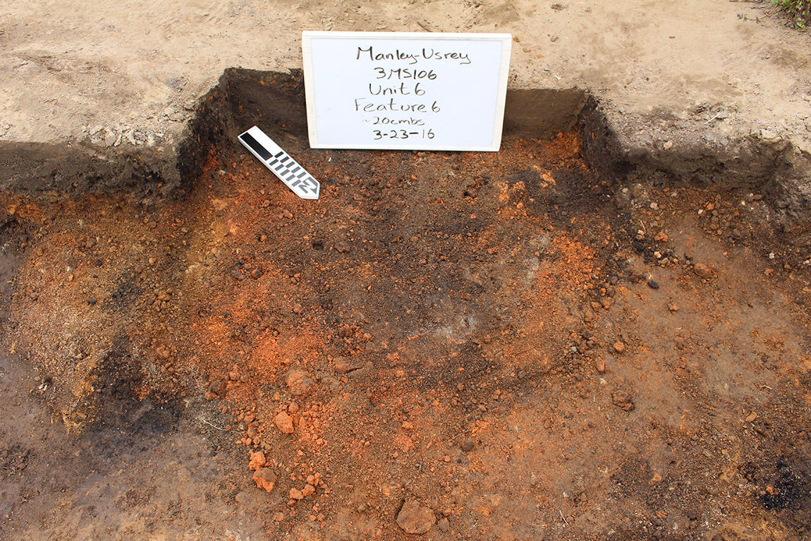
This profile map drawn by Arkansas Archeological Society volunteer Steve Jacober, shows the south half of the hearth with the daub fall still intact.
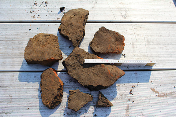
Thick pieces of fired hearth soil removed from the excavation unit.
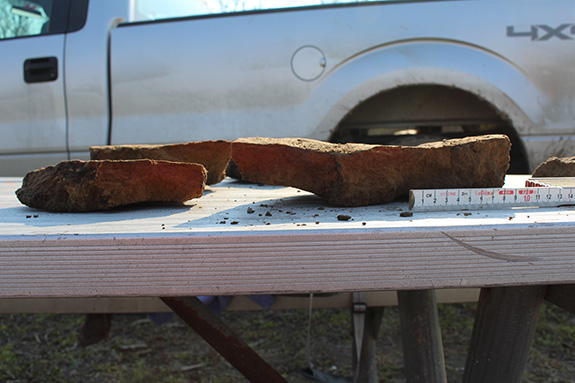
Side view of fired hearth soil.
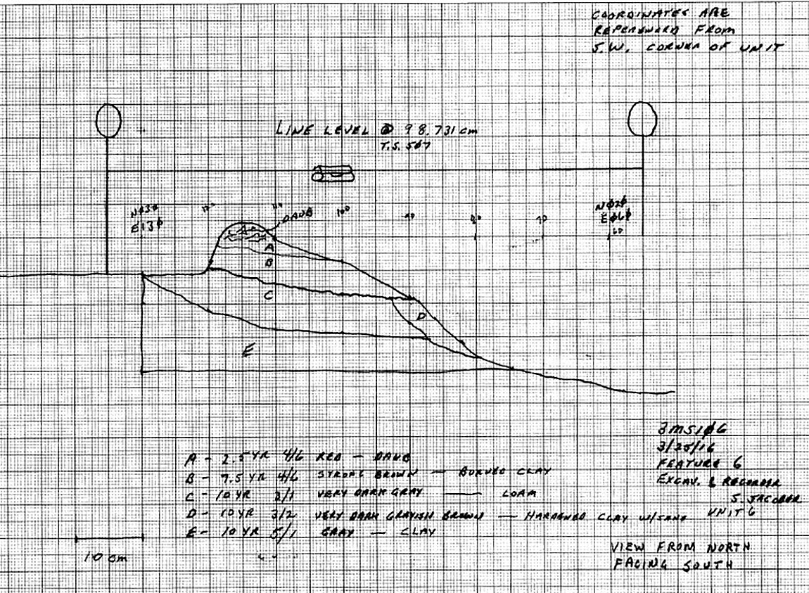
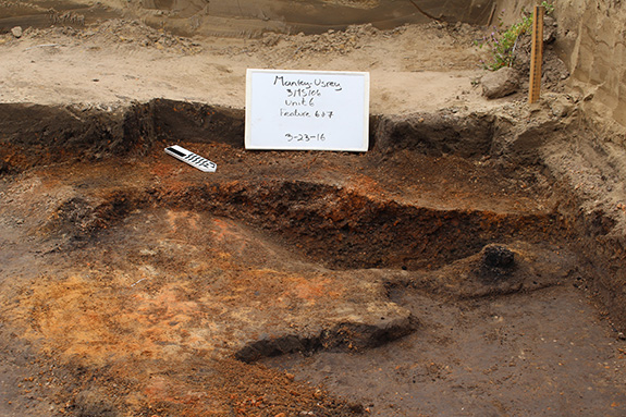
This profile map, also by Jacober, shows the southern half of the eastern side of the hearth after the highly fired layer of soil had been removed.