Michelle Rathgaber, Arkansas Archeological Survey/University of Arkansas
April 21, 2016
During spring break in March 2016, we conducted another week of excavations at the Manley-Usrey site in Blytheville, AR. In previous excavations we have shown that a large portion of the site is covered in up to a half meter of sand caused by a sand blow (which is an effect cause by large M6-8 earthquakes). We also ran AMS dates on two samples of nut shell identified in flotation samples taken from the top 10cm of the midden layer directly below the sand layers. These dates came back later than what we had expected based on the look of the weathering in the sand and the context of the artifacts. We didn’t see any obvious evidence of contamination in our samples, but we did wonder about the accuracy of the dates. We also uncovered the southern part of a structure in the 2014 excavation trench, so we wanted to try to uncover more of that structure.
The 2015 excavation was planned to try to find the northern edge of the structure and some architectural features of how it was built (post holes or a wall trench), the hearth (if it was, as we suspected, a house), and some good in situ carbon to take as a sample for further AMS dating to confirm or further question our previous dates.
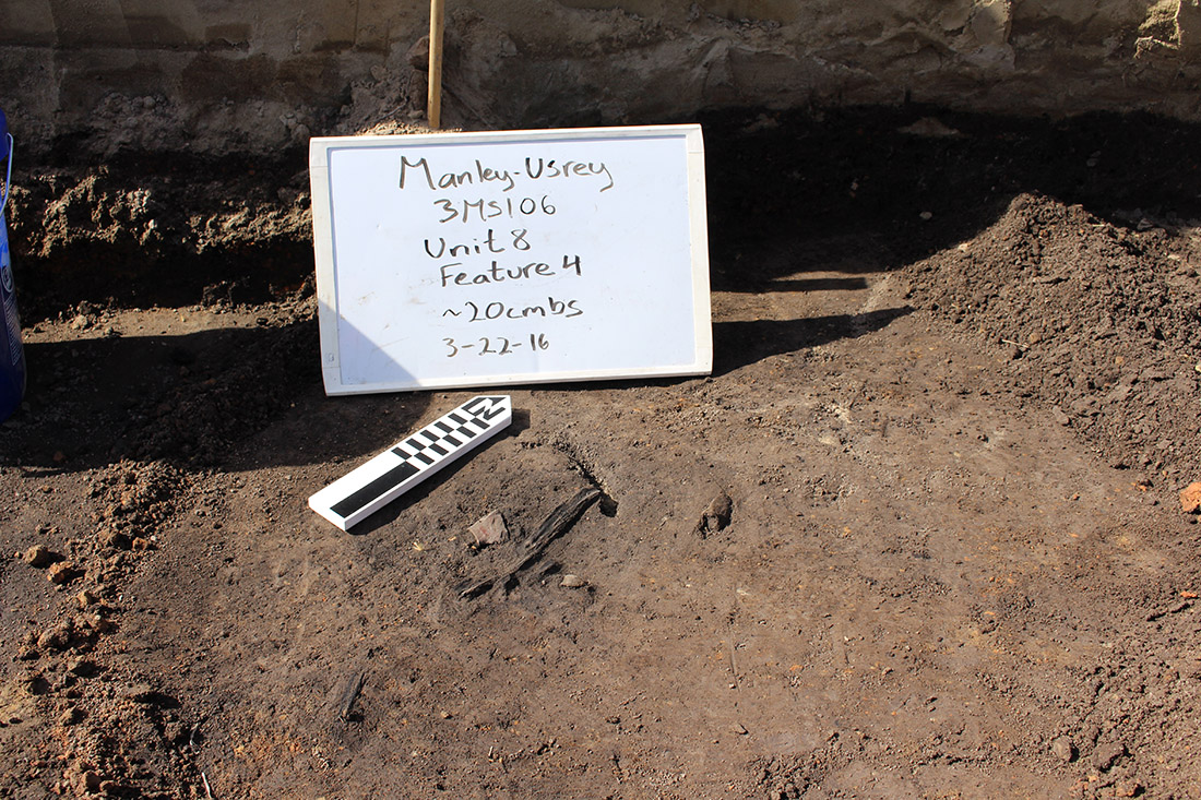
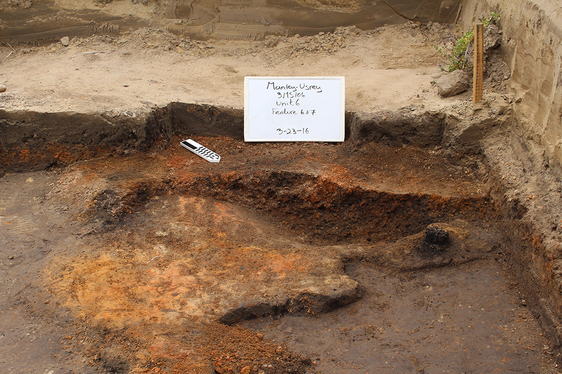
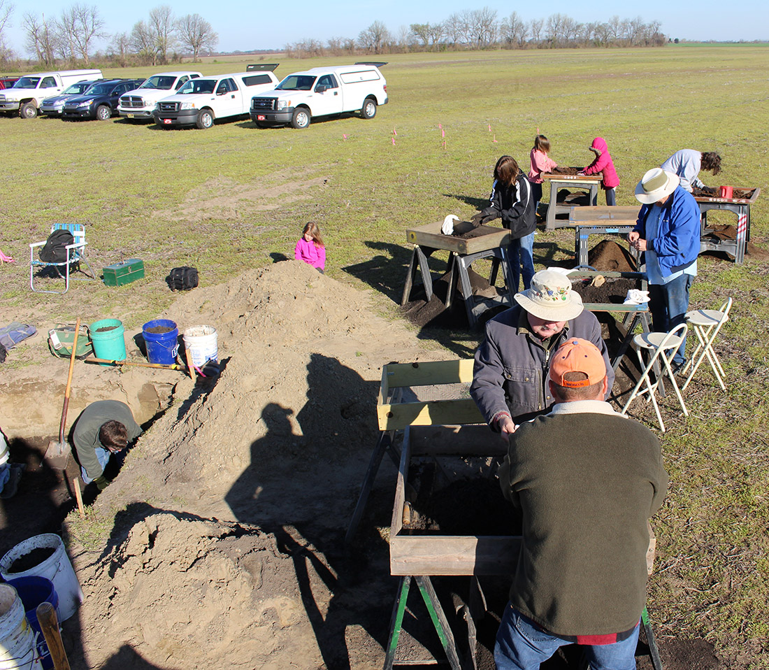
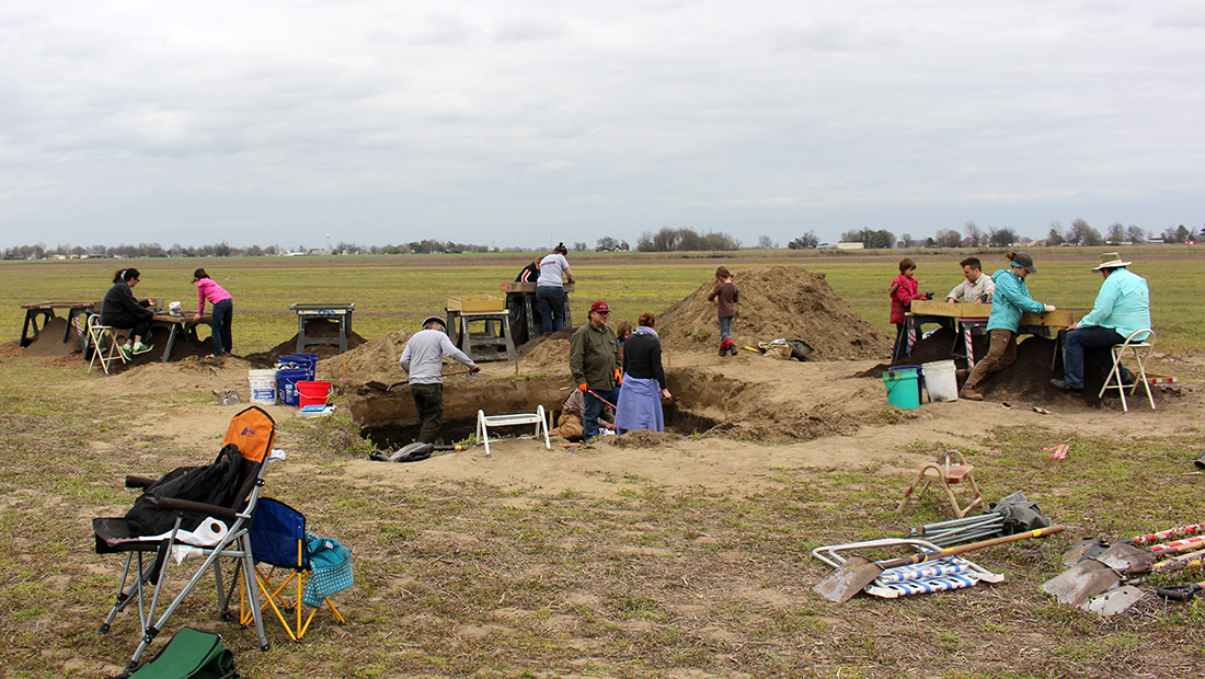
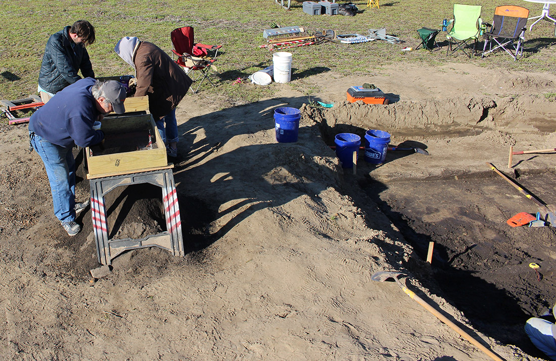
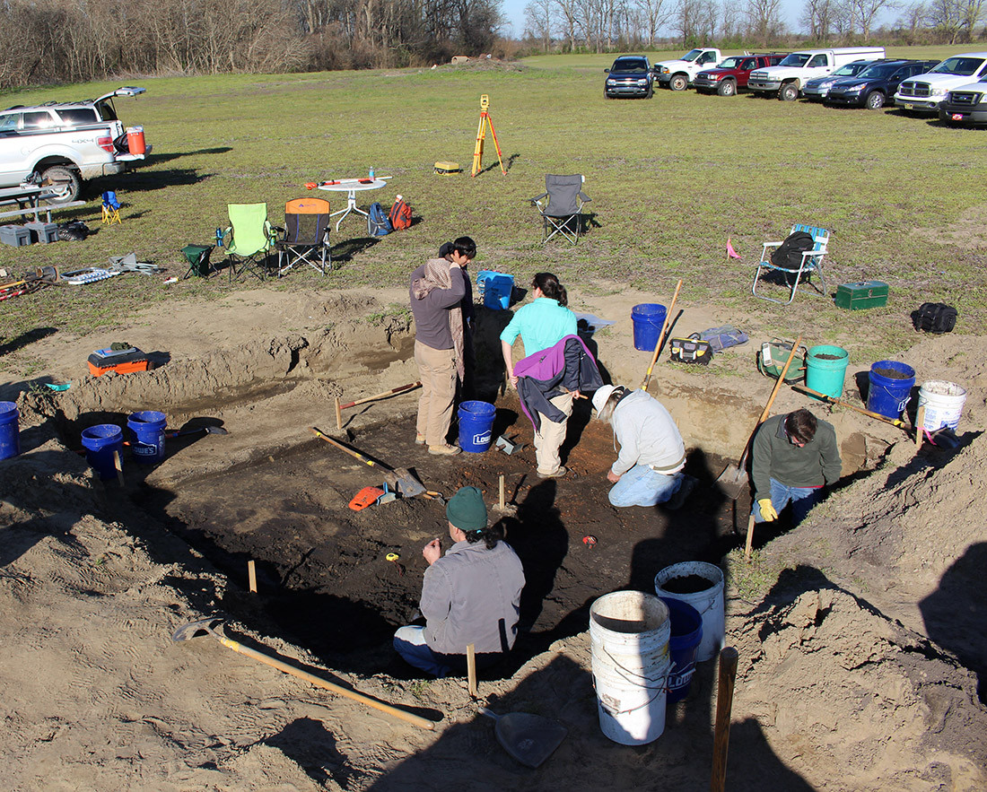
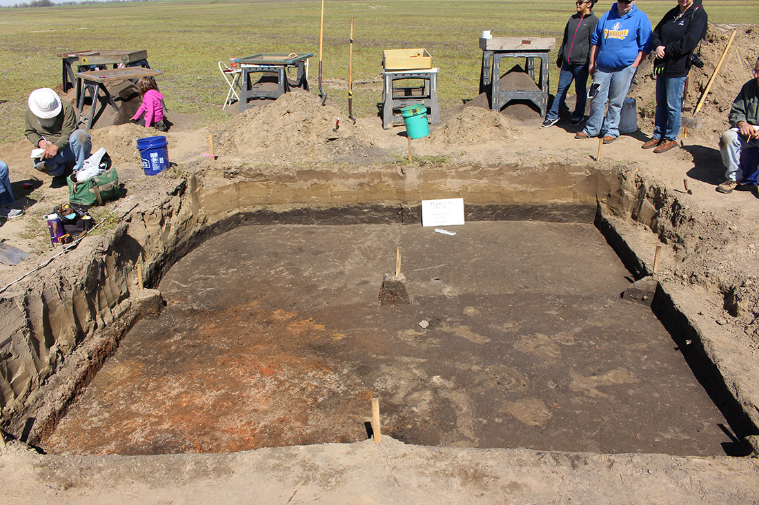
Because we knew how deep the midden level was from the previous work, we were able to bring in a backhoe to strip the sand off of the top of the area that we were going to excavate. After the sand was gone, we were able to clean up the midden surface, take photos and begin excavation. We split the area into four 2m x 2m units, but we tried to dig each unit at the same rate so that we could get overall pictures of the area at the end of each level (Figure 1). In this way, we were able to see a line of daub-covered and not daub-covered area that probably represents where the edge of the house was when it was standing. Within the daub fall of the wall, we also found a piece of burned, in situ cane that we were able to take as an excellently provenienced carbon sample for future dating (Figure 2). At the south edge of the excavation block we also uncovered the hearth (Figure 3). We took out the balk wall that we had left from the trench in 2014 and were able to see the entire structure (meaning we just barely missed it in the last attempt L) (Figure 4). The hearth was very interesting because not only was it differentially burned to different temperatures from the top to the bottom, but it had a second hardened layer underneath the first in some sections. It appears that part of the bowl was re-lined at some point by the people living in that house before continuing to be used. It seems as though the hearth was cleaned out before the structure was burned, though, because there was very little ash inside of the bowl, mostly just daub that fell from the wall or roof, though we did collect a sample of it for flotation just in case there was anything interesting left in it.
