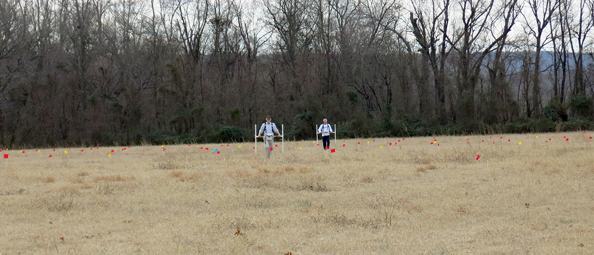
Tim Mulvihill, UAFS Research Station
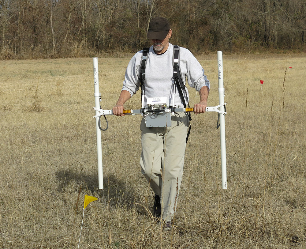
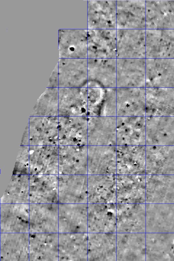
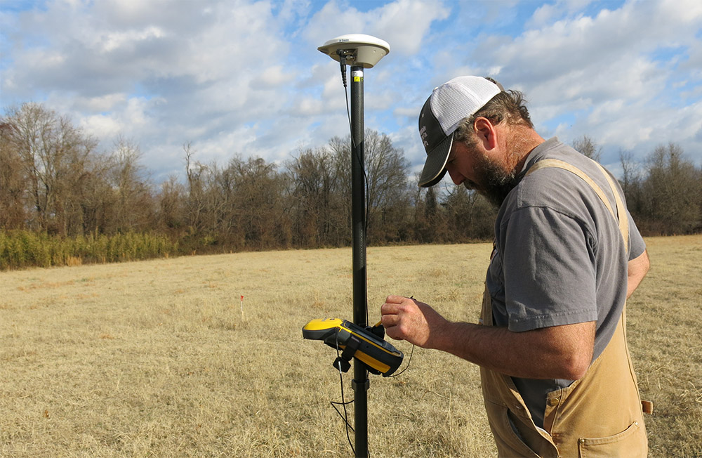
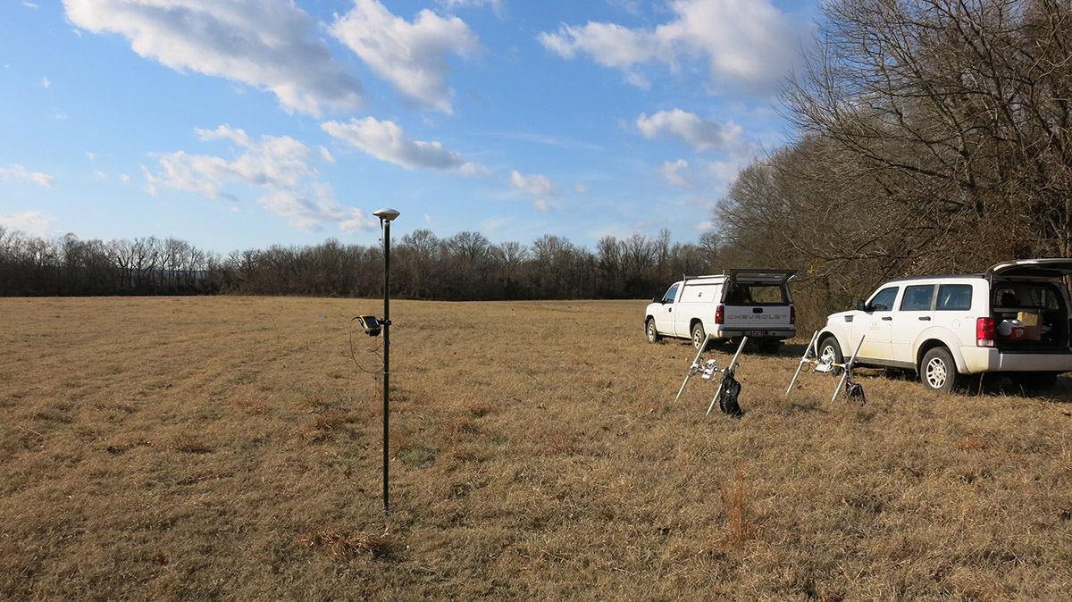
During early January of 2017, archeologists (Tim Mulvihill, Dr. Jami Lockhart and Dr. George Sabo) from the Arkansas Archeological Survey conducted a geophysical survey (remote sensing) of a Late Woodland site in the Arkansas River Valley. The site was originally researched during the 1960’s, but no work had been done there since. A new contour map of the site was completed and forty-seven 20m x 20m units were then established to collect the data. At this point, only magnetometry data was collected using two Bartington 601-2 gradiometers. Magnetometry is a passive technology that measures very small variations in the earth’s natural magnetic properties. Soils that have been disturbed reflect a change in this natural magnetic alignment. Likewise, materials that have fired have a measurably different magnetic signature than their surroundings. This technology works well to identify prehistoric features. In addition, the survey grids were georeferenced by Michael Evans using a Trimble Geo7X GNSS. Initial results were promising. Multiple anomalies identify the site area and some may even represent structures. A low mound on the property is also quite apparent in the geophysical data. We hope to conduct further geophysical work at the site in the future using other technologies.
