Jami J. Lockhart, Jeffrey M. Mitchem, and Timothy Mulvihill
Arkansas Archeological Society, 2014 Annual Meeting, October 3-5, Springdale, AR
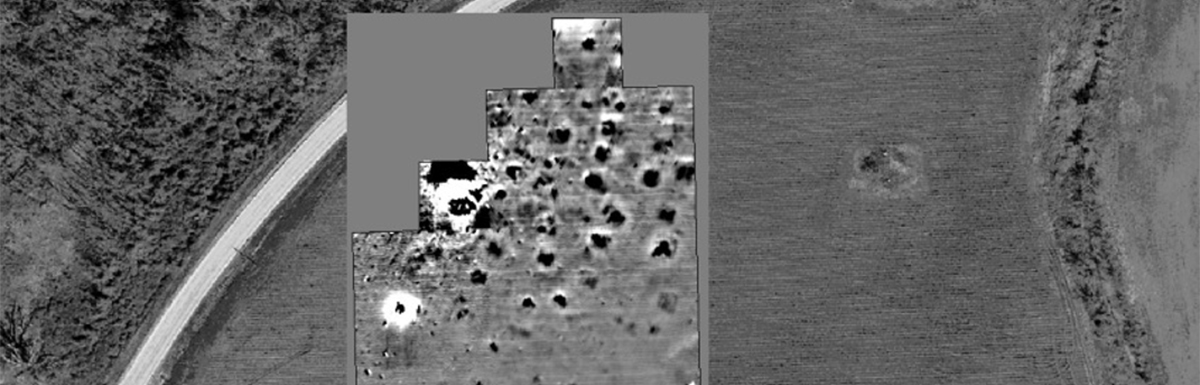
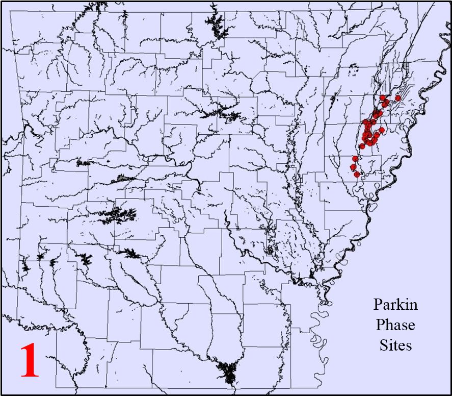
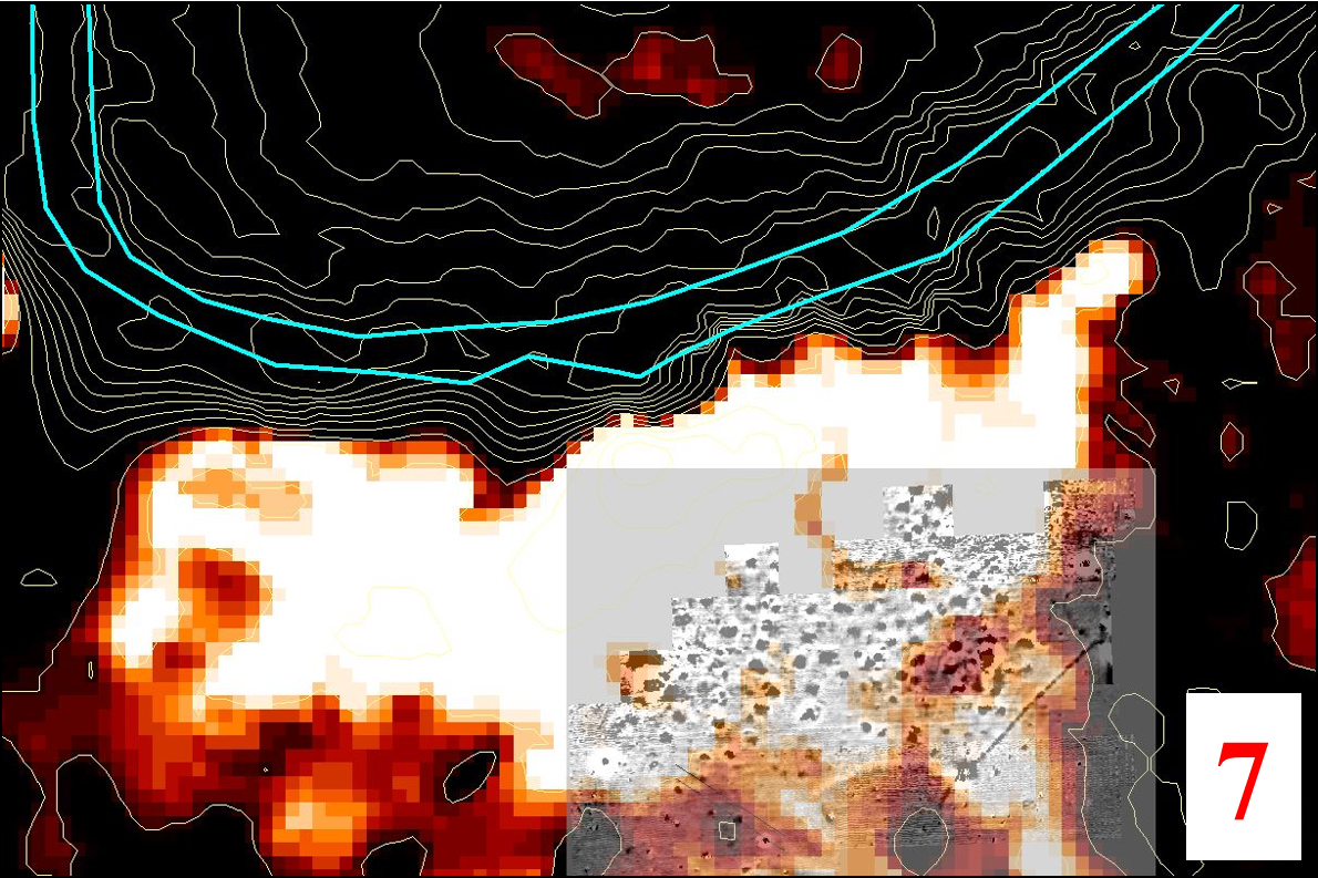
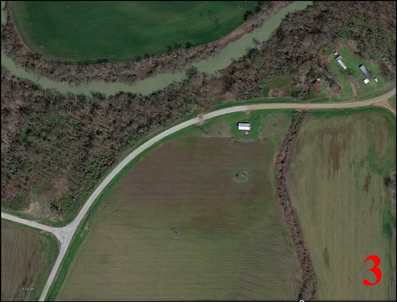
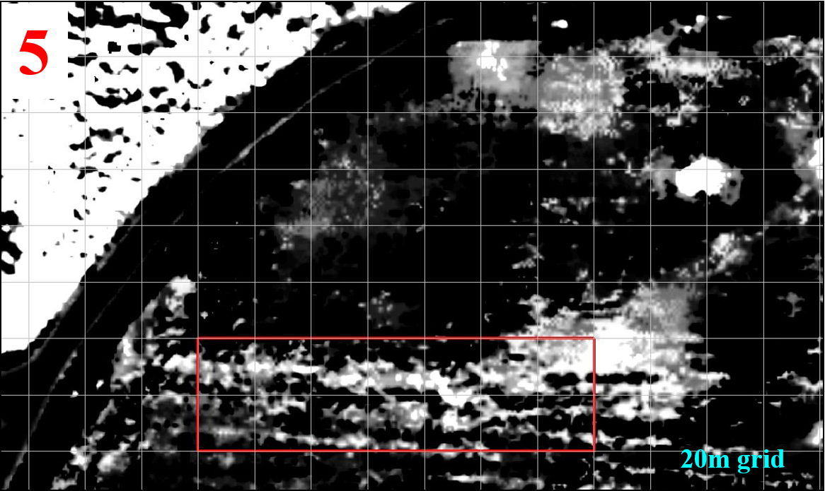
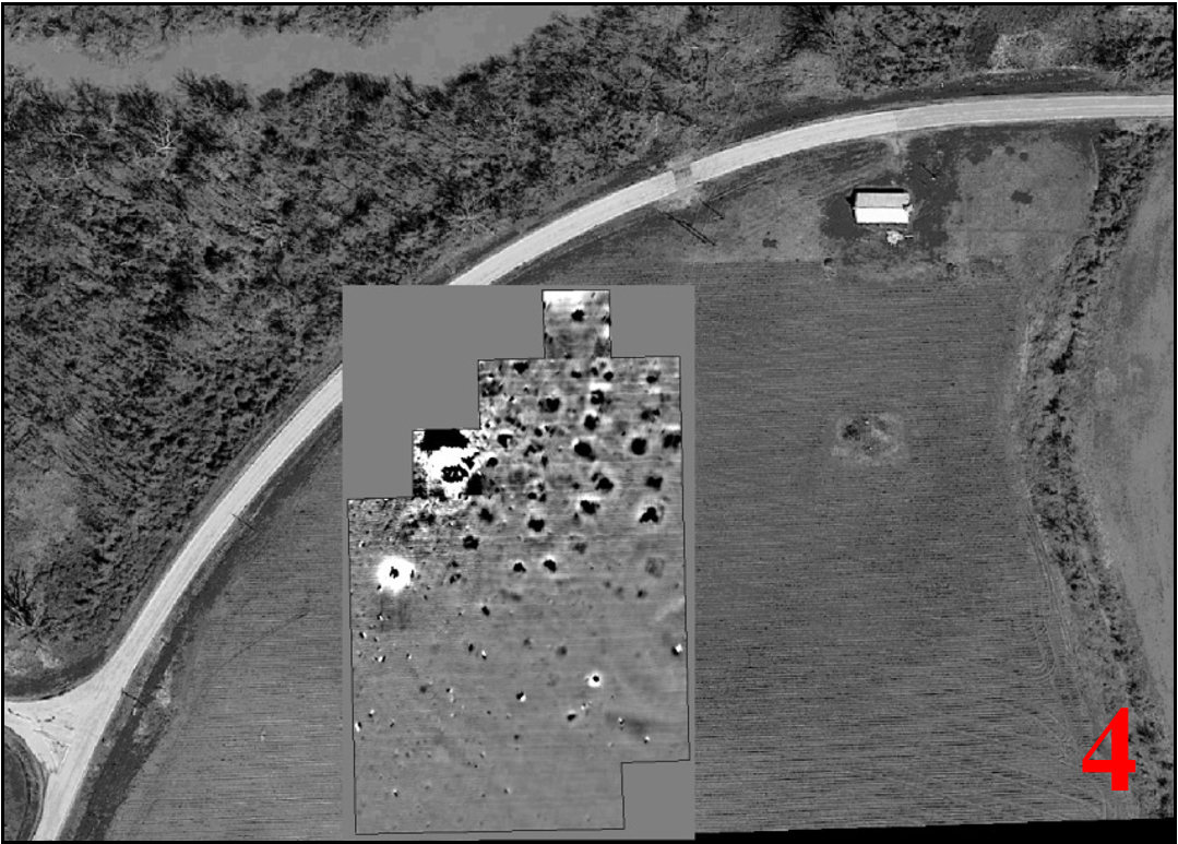
Richards Bridge is located 12 kilometers northeast of the Parkin site on the south bank of the Tyronza River. The site was recorded during the 1940s by Phillips, Ford, and Griffin. Beginning in late 2013, mapping and geophysical surveys were conducted by AAS personnel with help from Society members and encouragement from the landowners. Results indicate numerous archeological features, including prehistoric/protohistoric structures. The 2.7 hectares of remote sensing data are considered to provide insights into feature type, location, size, shape, preservation, orientation, spacing, and alignment, as well as estimates of population size, density, and other elements of intrasite organization.
Full pdf poster: Richards Bridge 3ct11