Kathy Cande, Jerry Hilliard, and Mary Beth Trubitt
The Arkansas Archeological Survey has collaborated with archeologists at the Ozark-St. Francis National Forests and the Ouachita National Forest on a number of successful research projects. These efforts continue in June, 2017 with the Mulberry River project.
1994 Arkansas Archeological Survey/Arkansas Archeological Society Training Program in the Buffalo Ranger District, Ozark-St. Francis National Forests
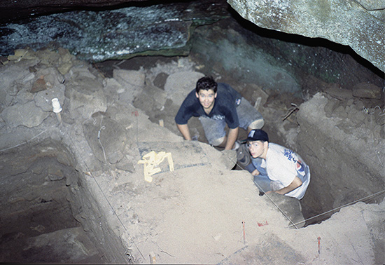
After the Survey successfully teamed up with Ouachita National Forest archeologists in 1993 for the Training Program at Shady Lake Recreation Area in southwest Arkansas, we received a request from the Ozark-St. Francis National Forests. In June 1994, excavations were conducted at four bluff shelters (3NW623–3NW626) and a historic homestead site (3NW919) near Nail, within the Buffalo Ranger District in Newton County.
With over 200 people in attendance, the 31st Annual “Society Dig” was the largest ever. Staff from the Arkansas Archeological Survey and the Ozark National Forest contributed 1,390 hours supervising excavations and teaching seminars. Fifteen Newton County residents from Deer, Nail, Jasper, and Vendor also participated.
Some looting had occurred at the bluff shelters in the past, and Forest Service archeologists wanted to better understand the extent of the looting and whether or not intact archeological deposits remained. They also were interested in developing strategies for understanding the structure of early twentieth-century homesteads where subsistence-level farming took place.
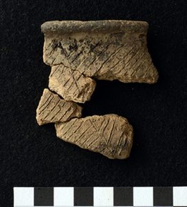
Artifacts dating from the Archaic through Mississippian periods were found at all four bluff shelters. A variety of activities were carried out at the shelters, including food preparation, stone tool manufacture and maintenance, nut processing, and use of hematite as pigment. Analysis of flotation samples from the Open Shelter included seeds from wild goosefoot and maygrass. Domesticated versions of these plants are part of the Eastern North American Crop Complex.
Two of the shelters revealed evidence of use during the early twentieth century as a still location and an animal pen/watering area, respectively. Remains of the house foundation and mostly kitchen-related artifacts were excavated from Beckham Homestead. The number and types of artifacts found (and archival research) indicate that the Beckham family were subsistence farmers who eventually lost their land due to non-payment of taxes.
Bluff Survey of Selected Areas of the FORD Project in the Boston Mountain Ranger District, Ozark-St. Francis National Forests
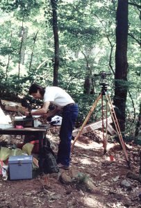
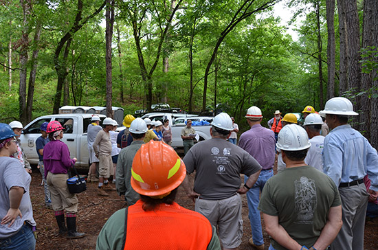
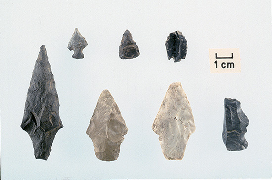
The Survey was awarded a cooperative agreement (AAS Project 14-05) with the U.S. Forest Service to conduct a survey in the Boston Mountain Ranger District. Mary Brennan, Forest Service Archeologist, conceptualized this project in order to survey targeted bluff areas where the potential for rock shelters and caves is great but where virtually no previous recorded sites have been documented. The demand for Forest Service archeologists to survey project areas such as timber sales, prescribed burns and others related to Section 106 Review is such that many bluffs and special use areas in the Ozark-St. Francis National Forest have not been inventoried for cultural resources.
This cooperative agreement between the Survey and the Forest Service was initiated so that portions of the FORD Project, selected by Mary Brennan, could be surveyed for bluff shelters and historic sites. The Devil’s Canyon area was chosen based on its steep terrain, known waterfalls, and other special use natural features. It is also located within about ten kilometers of three known rock art sites. Over the course of fifteen field days during the winter and early spring of 2013–2014, seventy-five archeological sites were recorded. Most of these are bluff shelters, some appearing in pristine condition with little to no evidence of looting. The Survey team included Jerry Hilliard, Jared Pebworth, Mike Evans, Aden Jenkins and Devin Pettigrew.
Survey-Society-Forest Service Excavations at Two Sites in the Ouachita National Forest
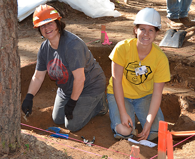
A 1996 cost-share agreement between the Ouachita National Forest and the Arkansas Archeological Survey produced a detailed research design for investigating novaculite quarry sites in the southern Ouachita Mountains, later published in The Arkansas Archeologist.
Another cooperative agreement between the U.S. Forest Service, the Arkansas Archeological Survey, and the Arkansas Archeological Society led to archeological excavations at two sites in the Ouachita National Forest. These investigations were part of the Society’s Training Programs near Oden in 2013 and 2014, co-directed by Mary Beth Trubitt and Meeks Etchieson. The sites were chosen because of their potential to answer questions about toolstone choices, plant domestication, social identity, and culture change in the Upper Ouachita River Valley.
