Richards Bridge is a small prehistoric Mississippian settlement in the Delta region of Arkansas, northeast of Parkin Archeological State Park. Although the site has been known by archeologists for decades, it has never been studied. Thanks to the interest of private landowners and a lucky location, the site has not been destroyed by agricultural land levelling that has been used throughout the Delta in recent years and has removed thousands of archeological sites from the landscape.
Richards Bridge was chosen as the location of the 2015 Archeological Survey/Archaeological Society Training Program for two reasons. A remote sensing survey of the site indicated that there were numerous prehistoric house ruins still present, and there were also indications that the settlement had originally been protected by a ditch and a wooden palisade. This was an opportunity to study well-preserved houses, a rare occurrence and a chance to see dwellings that could be compared with those excavated in previous years at the Parkin Site itself in order to see if people in this small town lived in a way that was similar to the residents of the temple mound site. Richards Bridge also offered a chance to explore how the Indians built their defensive palisade, an important part of Mississippian life that archeologists have not had the chance to study in detail.
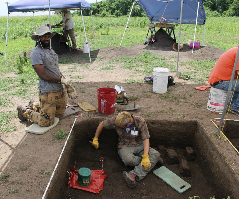
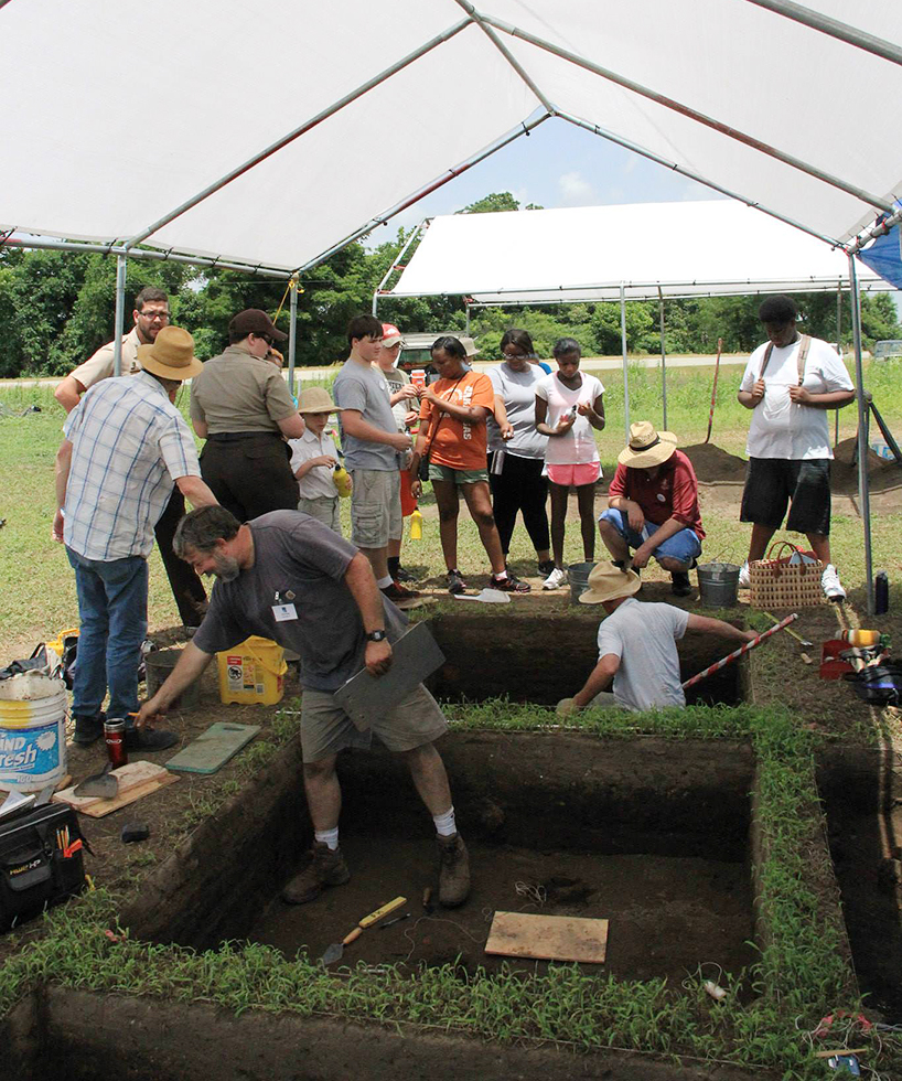
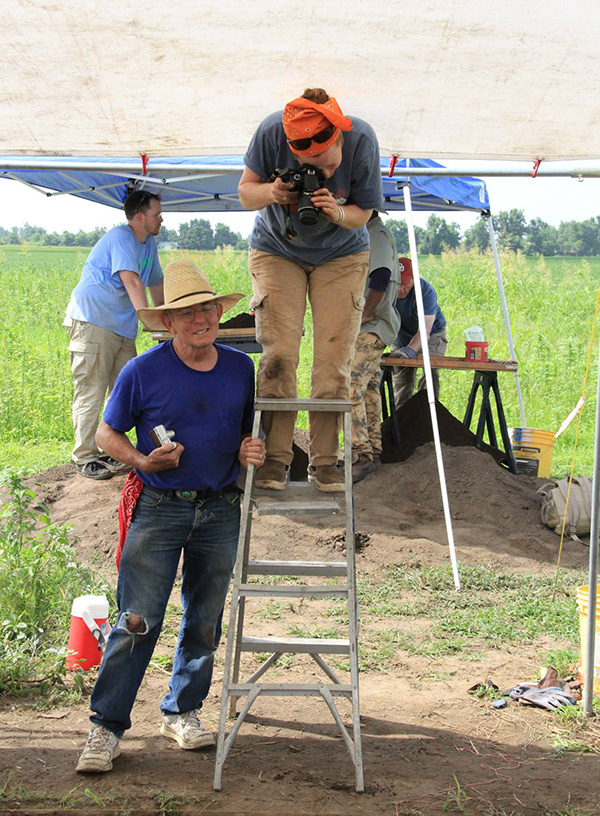
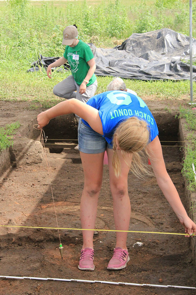
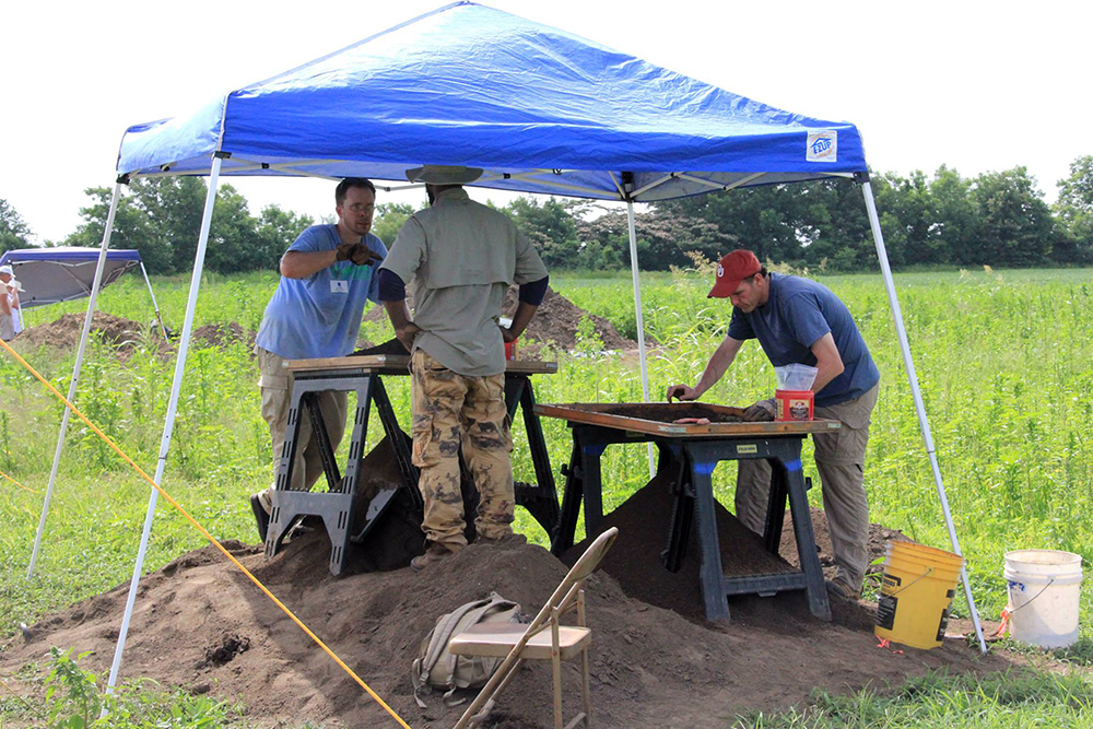
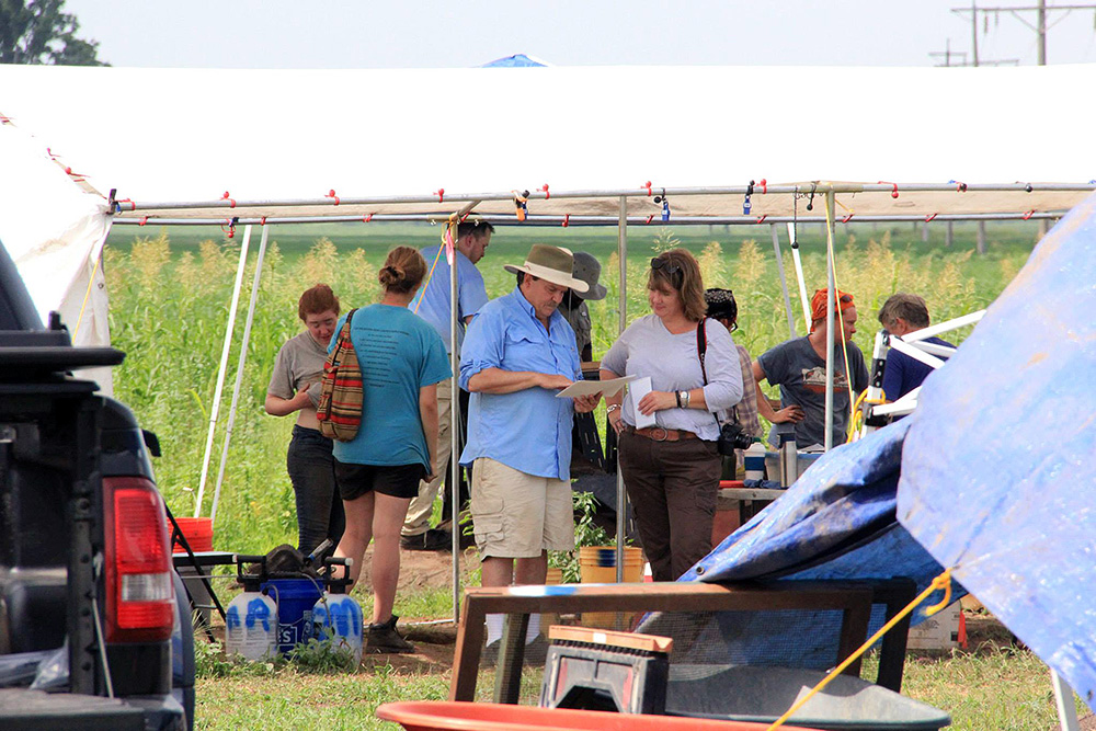
A hardworking group of volunteers and Survey staff members spent two weeks working at the site. They verified that the signals on the remote sensing maps were in fact burned Mississippian houses. Burned timbers, clay chinking, and domestic refuse like broken pieces of pottery and discarded food bones, were recovered in abundance, along with samples of charred food that will be used to establish the age of the settlement. A collection of post stains that mark the location of at least one defensive palisade was found although the full length of the protective wall is yet to be traced.
See also:
Remote Sensing & Mapping at Richard's Bridge
Return to Richards Bridge: The 2016 Arkansas Archeological Society Training Program