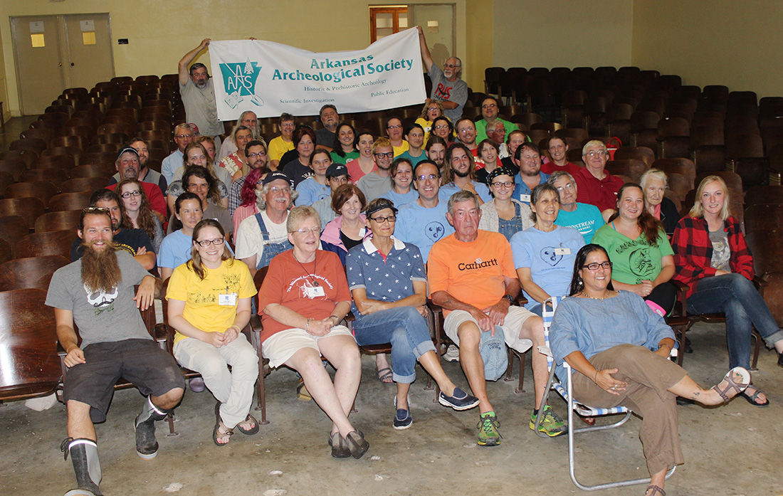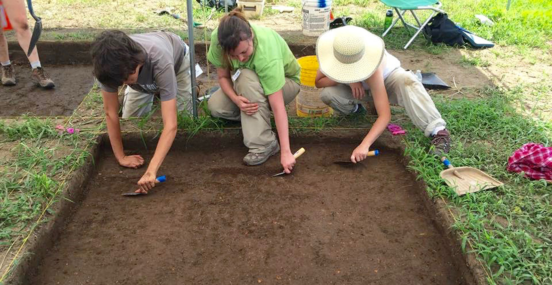
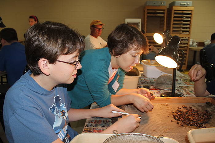
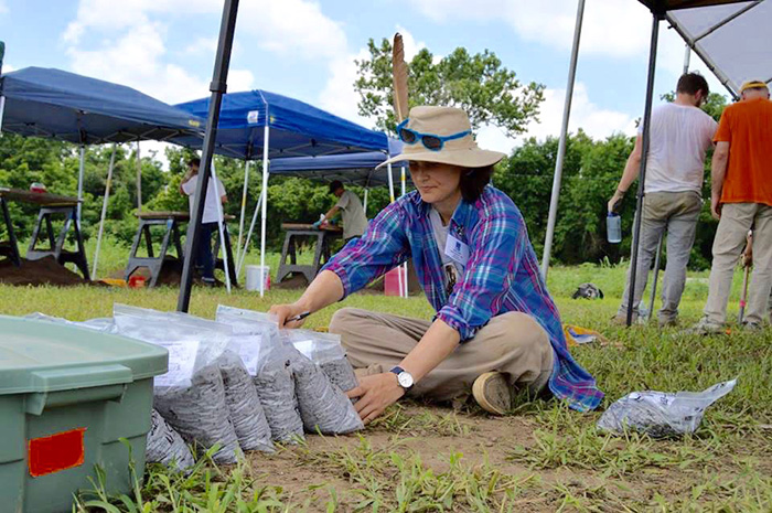
The 53rd Arkansas Archeological Society Training Program took place at the Richards Bridge site in June 2016. The Training Program gives interested members of the Arkansas Archeological Society the chance to work side-by-side with the professional archeologists of the Arkansas Archeological Survey. Anyone can become a member of the Society. Participants can get involved in all phases of archeological fieldwork: survey, mapping, excavation, photography, laboratory, and more. The program offers a unique opportunity for participants to learn how to do archeology the right way and assist professional archeologists with important scientific research that adds new information to our knowledge of Arkansas’s past. The Richards Bridge site is a Parkin phase (AD 1350–1650) village located at what we think was the frontier between the Casqui and Pacaha chiefdoms (or provinces, as the Spaniards referred to them). For a thorough discussion of the site and its background see Mitchem (2015), and stay tuned for a report on this year's dig results.
Return to Richards Bridge: The 2016 Arkansas Archeological Society Training Program
The Richards Bridge site is located near Parkin in the northeast corner of the state and consists of a village thought to date around AD 1350-1650. It is unique and important because it has been mostly spared from deep plowing so the deposits are mostly intact. This fact, along with the probability that it was occupied for a relatively short time, means that the remote sensing technology (geophysical technology) used by Dr. Jami J. Lockhart yielded clear indications of structure locations and other features. (See Figure 1.) Last year’s excavations revealed interesting structure floors that are not far beneath the surface, so careful planning should allow us to completely define some of these by the end of this year’s Training Program.
Buildings
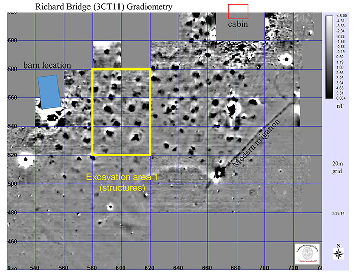
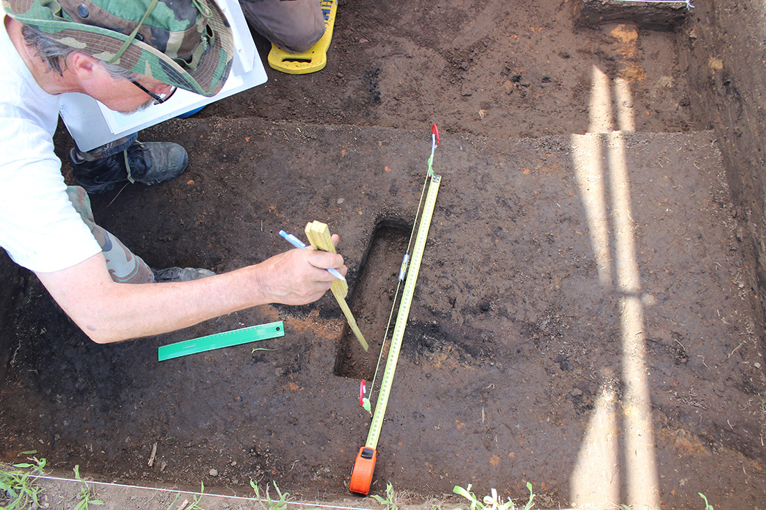
The four buildings selected last year are named Areas 1, 3, 4, and 5. This year we will excavate Areas 1 and 3 and possibly Area 5. Area 1 (Fig. 1), at the southern end of the site, was investigated by the Basic Excavation seminar participants who worked there both weeks supervised by professional archeologists. The stains in the soil indicate a very complicated building, with a great amount of burned clay and daub (burned clay with cane impressions). It had burned and collapsed to the west. We defined the eastern wall in 2015 and will concentrate on locating additional walls, corners, and an interior hearth. The Basic Excavation seminars will work here again, under the supervision of Dr. Mary Beth Trubitt the first week and Dr. John House the second.
Area 3 is located at the northern end of the site. The northern wall of the building was defined, along with part of the presumed west wall. A prepared hearth was located and excavated on the house floor. Katie Leslie will be supervising this area and we will concentrate on opening units to follow out and define the walls.
Area 5 is at the southwest edge of the site. There are interesting features (stains in the soil) here, but so far we haven’t defined the edges of the building, which appears to be fairly deep. Well-preserved charred timbers were in the bottom of one excavation unit, but it is unclear whether these are on the floor of the building or outside of it. If we decide to continue work on Area 5, Katy Gregory will be in charge.
Excavated Materials
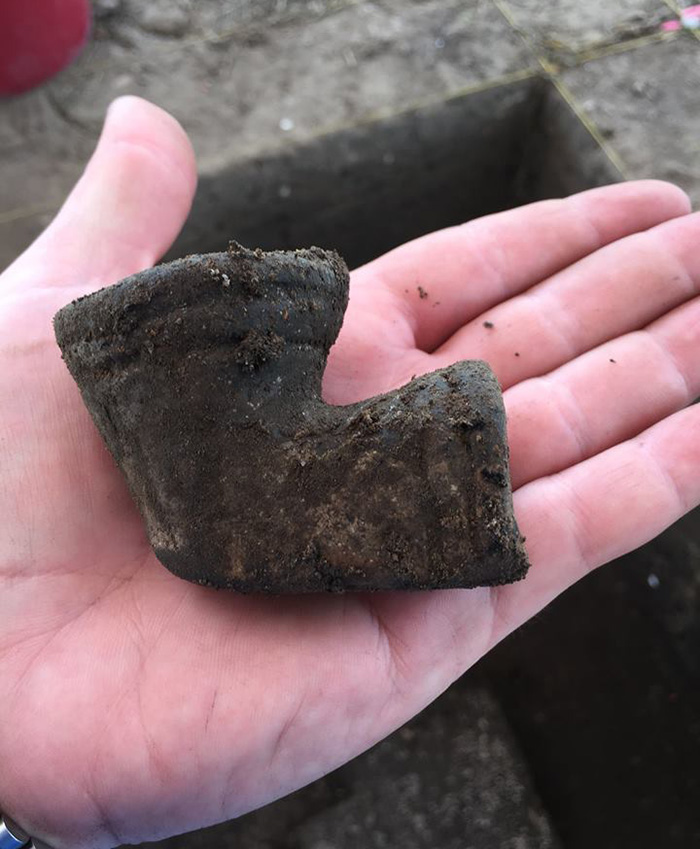
A tremendous amount of artifacts was excavated last year and much of it has not yet been processed. A lot of it was daub and burned clay with pottery sherds, points and other stone tools, ceramic pipes, and faunal remains. All of the items will be processed and analyzed and will provide insights into the people that once occupied the Richards Bridge site.
The Borrow Pit
At the very south end of the site a crescent-shaped anomaly (Fig. 1) observed in the geophysical imagery. Dr. Lockhart suggested this might be an earthquake feature, so we had the backhoe cut a trench across it from north to south. Much to everyone’s surprise, it was a huge circular pit. The great size of this pit indicates that it was probably used to obtain soil for building the platform mound (upon which the chief’s house had undoubtedly been built) that once stood at the north end of the site adjacent to the Tyronza River. That mound was destroyed when Highway 149 was constructed through part of the site. The pit had been filled in with soil containing abundant artifacts and village debris, indicating it had been dug out while the village was occupied, and then used as a huge trash pit (and possibly a latrine).
The planned 2016 excavations should yield reliable information on at least two buildings. Recording architectural information is a major focus of the Richards Bridge project. Faunal (animal) remains, including shell, are well preserved, and these will eventually provide information that can be compared with detailed faunal studies from the Parkin site. Dr. Elizabeth Horton has been processing flotation samples from the site so we will have good knowledge of plant use at the site as well. We will keep an eye out for any evidence that the Hernando de Soto expedition passed through the village as they explored the area in 1541.
Age of the Houses
Funds from the Society’s Archeological Research Fund were awarded to cover three radiocarbon (C14) dates from the site. Some samples have been collected but have not yet been submitted, and more samples will be collected this summer. We may also apply for money to run other dating techniques.
Further reading
Richards Bridge Remote Sensing
Richards Bridge Excavations
References Cited
Harvey, Melissa Zabecki
2015 Burial Goods List for the 2015 Arkansas Archeological Society/Survey Training Dig at Richards Bridge, 3CT11/22, Three Forks, Crittenden County, Arkansas. Report submitted to the Arkansas Archeological Survey, Fayetteville.
Mitchem, Jeffrey M.
2015 Welcome Back to the Delta: The 2015 Arkansas Archeological Society Training Program at the Richard’s Bridge Site. Field Notes 383:3–7.
Acknowledgment: The geophysical research program on which the Training Program excavations at Richards Bridge are based was directed and carried out by Dr. Jami Lockhart, assisted by Mr. Timothy Mulvihill. Dr. Lockhart graciously supplied the figure used in this article.
